Our Services
Comprehensive Solutions for Your Geospatial Needs
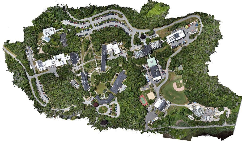
Photogrammetry & GIS
High-precision aerial mapping and geographic information systems for comprehensive spatial analysis.

Lasergrammetry
Advanced 3D scanning and point cloud processing for precise terrain and structure modeling.

Drone Surveying
State-of-the-art drone technology for accurate aerial surveys and mapping.

Satellite Data Analysis
Processing and analysis of satellite imagery for large-scale geographic insights.

IT Consulting
Expert guidance in geospatial technology integration, custom GIS solutions, and digital transformation strategies.

Digitising Documents
Scanning paper documents to create searchable digital copies.